The Coast, Mapped
San Diego Coastal Map
Every spot featured in this guide — beaches, surf breaks, trail heads, restaurants, viewpoints, tide pools, and event venues — is plotted on the map below. Use it to plan a coast-spanning day, find the closest tide pool to your hotel, or discover a hidden cove you've driven past for years.
San Diego's coast runs 70 miles from the Mexican border at Imperial Beach to the Camp Pendleton boundary north of Oceanside. Along that stretch are 21 distinct beach communities, each with its own personality, parking situation, and local culture. The map is keyed by category, so you can quickly visualize the cluster of dining options in Little Italy, the chain of surf breaks running north from Pacific Beach, or the trailheads along the bluffs from Torrey Pines to Encinitas.
Pan, zoom, and tap any pin for details and a direct link to the relevant guide page. Whether you're spending a weekend or a season on the coast, the map is the fastest way to orient yourself and start connecting the dots between beaches, breaks, restaurants, and trails.
Interactive Map
The whole coast, on one map
Beaches, surf breaks, lagoons, coastal trails, and standout dining — search, toggle categories, and tap a pin to open its guide or get directions.
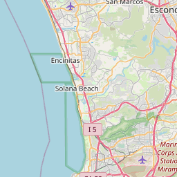

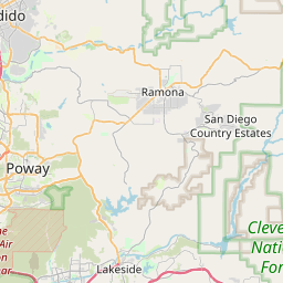
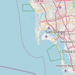



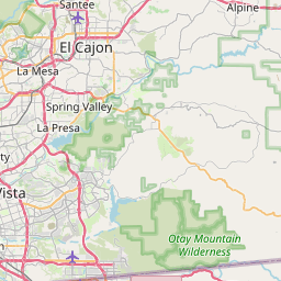
28 of 53 spots shown. Tap a category chip to toggle, click a pin for details and directions.
Best for
Find your perfect match
Best for a coast road trip
Top pick: Imperial Beach → Oceanside70 miles of coastline with stops at Sunset Cliffs, La Jolla, Torrey Pines, Del Mar, Encinitas, and Carlsbad.
Best for finding tide pools
Top pick: Cabrillo & Sunset Cliffs pinsThe map shows the best tide-pool access points — check the tide chart first.
Best for surf-spot scouting
Top pick: Break-by-break pinsEvery featured surf break is mapped with skill level and bottom type.
Best for dining near the beach
Top pick: Restaurant cluster viewZoom into La Jolla, Del Mar, or Encinitas to see the densest dining options within walking distance of sand.
Best for connecting trails
Top pick: Trailhead pinsPlan a multi-trail day by spotting nearby trailheads on the map.
Best for first-time visitors
Top pick: Start with the overview zoomZoom out to see the full coast, then tap the neighborhoods that interest you most.
Know before you go
Plan it like a local
Use the category filter
Toggle between beaches, surf spots, trails, and dining to declutter the map and focus on what you're planning.
Check parking before you go
Each pin's detail card notes parking availability. Coastal lots fill by 9–10am in summer — plan accordingly or take transit.
The Coaster rail follows the coast
The commuter train runs right along the coastline from downtown to Oceanside. Several stations are within walking distance of beaches shown on the map.
Combine neighboring pins
Many great days combine a morning trail, a midday beach, and an evening restaurant all within a mile of each other — use the map to spot these clusters.
Save locations to your phone
Tap a pin and use the Google Maps link to save it to your phone's maps app for turn-by-turn navigation.
Avoid I-5 on weekends
Coast Highway and neighborhood streets are slower but scenic. I-5 between La Jolla and Del Mar backs up heavily on summer weekends.
FAQ
Frequently asked
- How far does the San Diego coast stretch?
- San Diego County's coastline runs roughly 70 miles from the Mexican border at Imperial Beach in the south to Oceanside at the northern edge. The map covers every featured beach, surf break, trailhead, restaurant, and viewpoint across this stretch, plus a few key spots just over the line into southern Orange County (San Onofre, Trestles).
- What's the best way to drive the coast in one day?
- Start at Cabrillo National Monument at sunrise for panoramic views, then head north along Sunset Cliffs Boulevard to Ocean Beach. Continue up the coast through Mission Beach, Pacific Beach, La Jolla, Torrey Pines, Del Mar, and Encinitas. End at Moonlight Beach or Carlsbad for sunset. Budget 8–10 hours with stops. Avoid I-5 during rush hour — take the coast roads.
- Which neighborhoods are closest to the beach?
- Ocean Beach, Mission Beach, and Pacific Beach are directly on the sand. La Jolla sits on bluffs above multiple coves. Coronado is its own peninsula with miles of beach. Del Mar, Solana Beach, Cardiff, Encinitas, Leucadia, Carlsbad, and Oceanside each have their own distinct beach character and are all walkable from their village centers.
- How do I get between beach towns without a car?
- The Coaster commuter rail runs along the coast from downtown San Diego to Oceanside, with stops in Old Town, Sorrento Valley, Solana Beach, Encinitas, Carlsbad, and Oceanside. The MTS bus system connects beach neighborhoods within the city. Ride-share fills the gaps. A car is most useful for inland excursions.
- Where is parking free along the coast?
- Free street parking exists in Ocean Beach, parts of Pacific Beach, Del Mar (side streets), Cardiff, Leucadia, and Oceanside. Paid lots are common near La Jolla Cove, Mission Beach, and Coronado. Torrey Pines State Reserve charges $15–25/vehicle. Arrive before 9am in summer to find spots anywhere popular.
- What are the most scenic viewpoints on the map?
- The top five: Cabrillo National Monument (360° views of the bay, downtown, and ocean), Torrey Pines Razor Point (sandstone cliffs over the Pacific), Sunset Cliffs Natural Park (the name says it all), the bluff above Swami's in Encinitas, and the Oceanside Pier looking south. All are free and accessible.