Beaches
The Better Beach Day Starts Before the Sand: Choosing Your San Diego Coast
· 7 min read
The right San Diego beach is the one that fits your whole day, not just your destination photo. Build a smarter coast plan around the walk from your car, parking limits, water-quality checks, and a nearby alternative that keeps a small obstacle from becoming the afternoon.
A good beach day starts with a small promise: getting to the ocean should leave you enough energy to enjoy it. That means choosing more than a name on a map. It means thinking about the cooler you will carry, the person who needs a step-free route, and how far everyone will want to walk back.
For San Diego’s coast, the most useful question is not “Which beach is best?” It is “Which stretch works for this group, for this amount of time?” Pick a primary destination and a nearby alternative, then check the details that could change the decision.
This guide uses a source snapshot checked on October 5, 2026. Dated conditions below are planning examples, not promises for a later visit.
Choose a stretch of coast, not a single parking pin
Start with the part of the coastline that makes sense from your starting point. A beach that requires a long drive and an uncertain arrival can be a poor match for a short outing, even if it is your first choice on paper.
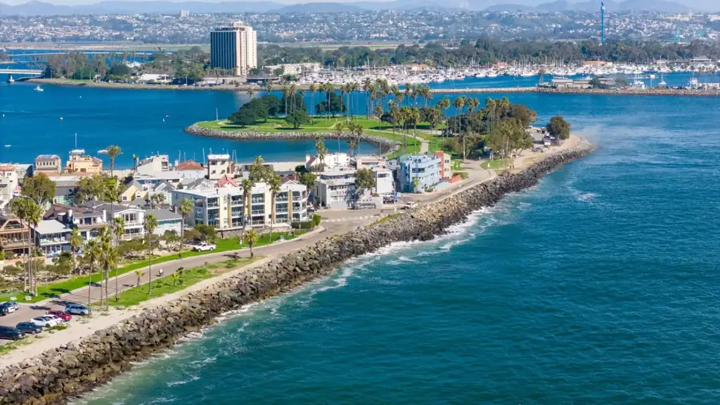
Use the coastal map to build a compact shortlist. Possible geographic groupings include Oceanside Harbor Beach and Breakwater Way Beach; Moonlight Beach and Cardiff Reef in the Encinitas area; or Mission Beach and Pacific Beach. These are starting points for comparison, not claims that the beaches have interchangeable access, amenities, or swimming conditions.
Give each candidate a job:
- Primary beach: the strongest match for your main activity and access needs.
- Parking alternative: another destination you can consider if legal parking at the first does not work.
- Dry-land option: a coastal outing that does not depend on entering the water.
Browse the beach directory before committing. Keep the alternative close enough that switching does not consume the outing, but assess its access and water quality separately.
Measure access from the parked car to your actual destination
“Beach access” is not one yes-or-no feature. The route can include a street crossing, a paved approach, steps, a slope, and soft sand. A short distance on a map does not tell you whether that sequence suits your group.
Before choosing, ask:
- Can everyone manage the route both ways, including the return with wet gear?
- Does anyone need a step-free approach, a firm surface, or frequent resting points?
- Are you aiming for a shoreline walk, a place to sit, or water entry?
- Can you reduce the load instead of making several trips?
For wheelchair users or anyone with limited mobility, verify the entire route with the beach operator. An accessible parking space does not by itself establish access across the sand. If specialized equipment or assistance is essential, confirm availability rather than building the day around an assumption.
The supplied October 5, 2026 snapshot does not establish individual access-route conditions or accessibility services. Treat those as items to verify, not details a scenic beach description can settle.
Make parking part of the itinerary
Parking is most manageable when you decide your limits before arrival. Choose how long you will search, how much walking your group can comfortably do, and whether paid parking fits the budget. When you reach one of those limits, switch plans rather than repeatedly circling.
Use the San Diego beach parking guide to organize your research, then read the signs at the actual space. Check time limits, payment requirements, permit restrictions, street-cleaning rules, and any lot closing time that could affect your return.
A few durable habits help:
- Budget for the walk, unloading, and payment—not just driving time.
- Leave driveways, crossings, and emergency access clear.
- Use only permitted loading areas if dropping off passengers or equipment.
- Photograph the posted rules or note the space location so you can check your return deadline.
The October 5, 2026 snapshot provides no parking rates, operating hours, or live space availability. There is no reliable basis here to promise free parking or an open lot. The useful strategy is to arrive with options, not a guarantee.
Check the water separately from the beach access
A reachable beach is not automatically a suitable place to enter the ocean. Water quality is a separate decision from parking, access, and surf safety.
In the County water-quality snapshot synced October 5, 2026, at 15:17 UTC, bacteria advisories called for avoiding water contact at:
- Imperial Beach: Cortez Avenue, Imperial Beach Pier, End of Seacoast Drive, and Carnation Avenue.
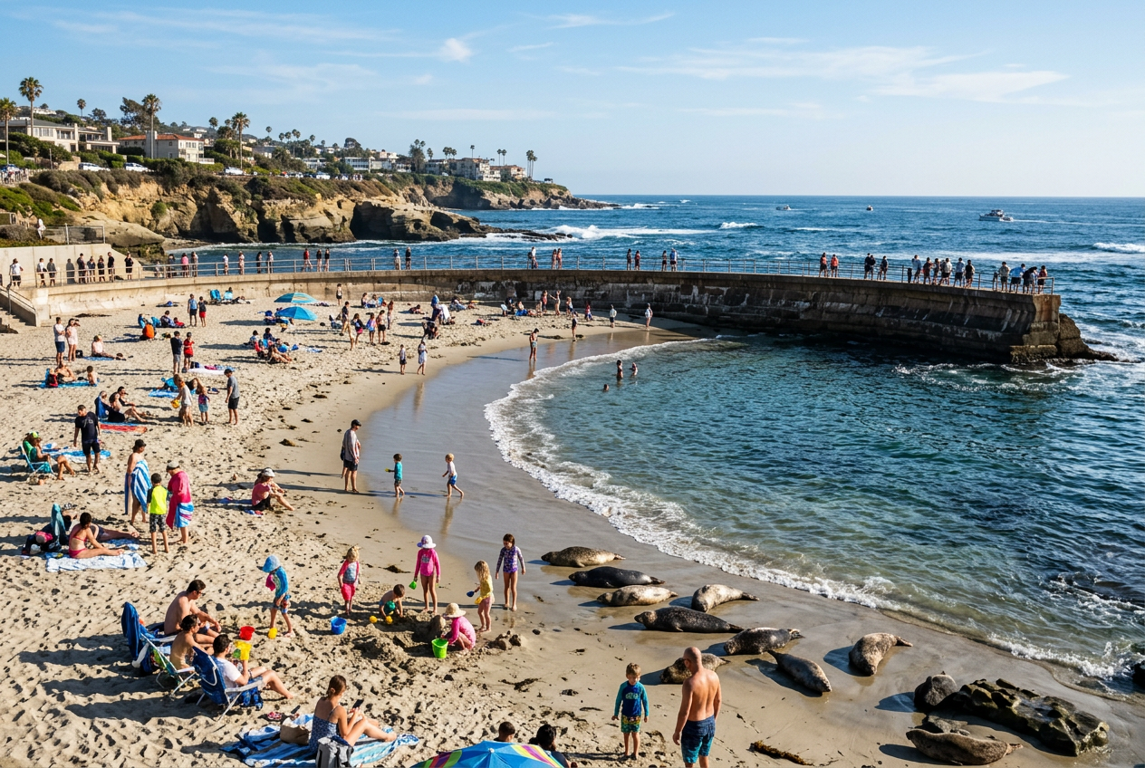
- Children’s Pool: the listed monitoring location.
- Windansea Beach: Playa Del Norte.
- La Jolla Cove: the listed monitoring location.
In that same dated snapshot, La Jolla Shores, Mission Beach, Pacific Beach, Moonlight Beach, Coronado Beach, and Oceanside Harbor Beach were among the sites listed as open with no County advisory posted. That describes the recorded water-quality status—not a guarantee of safe swimming, available parking, or unrestricted access.
The October 5 snapshot also lists Del Mar Shores Beach, Stone Steps Beach, Grandview Beach, and Beacons Beach as unmonitored by the County, with unknown status. A nearby monitored site cannot establish conditions at an unmonitored beach.
Check the County’s beach and bay water-quality information and current advisory listings again before water contact. Follow posted notices and lifeguard guidance on arrival.
Use tides to plan the return, not just the arrival
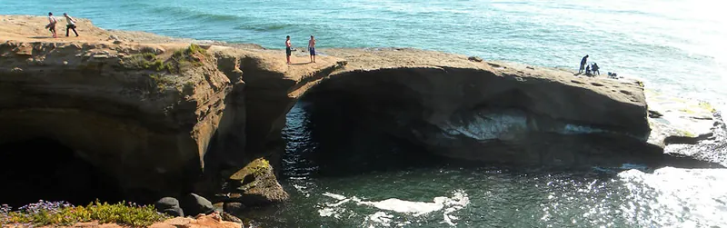
For a shoreline walk, think about the water level when you will come back. A route that appears spacious at the start may offer less room later. Keep clear of bluff bases and do not plan around squeezing past a rocky pinch point.
The supplied NOAA tide predictions are La Jolla station reference values, station 9410230—not beach-specific measurements across the county. For October 5, 2026, they predict a low of 2.516 feet at 12:06 p.m. and a high of 5.354 feet at 5:57 p.m., relative to MLLW, in local daylight time.
Those values illustrate an important point: “low tide” does not necessarily mean a very low water level. Tide predictions also do not describe wave run-up or certify a route as passable. Check the tide planning page, use predictions for your actual date, and turn back well before water threatens your exit.
Let the forecast shape what you carry
The supplied forecast for October 5, 2026 called for sunshine, a high near 79°F, and north winds of 5–10 mph. That is a dated forecast, not an observation of conditions at every beach.
For any visit, check the National Weather Service San Diego forecast shortly before departure. Pack sun protection, drinking water, and a layer suited to your planned return time. An inviting air forecast does not establish ocean safety; assess water quality, surf, and access independently.
Plan your coast day
- Pick one main activity and an outing length.
- Choose a primary beach and a nearby alternative.
- Verify the complete access route for everyone in the group.
- Set a parking-search limit and read the posted rules.
- Recheck water-quality notices, weather, and tides for your visit.
- Keep a dry-land option and an easy return route.
The right stretch of coast is the one that leaves room for the day to unfold—not the one that requires every detail to go perfectly.
Sources checked
Source snapshot checked October 5, 2026:
- San Diego County beach and bay water quality and County advisory listings: dated monitoring statuses.
- NOAA La Jolla station tide predictions: reference predictions, feet above MLLW, local time.
- National Weather Service San Diego: supplied coastal forecast.
Frequently asked
- How should I choose a San Diego beach when parking matters?
- Compare the entire trip from your parking space to your destination, including crossings, slopes, steps, and sand. Set a search-time limit, verify posted parking rules, and choose a nearby alternative before leaving.
- Does an open water-quality status mean a beach is safe for swimming?
- No. In the October 5, 2026 snapshot, open means no County advisory was posted for that listed site. It does not establish surf safety, access conditions, or future water quality. Recheck notices and follow lifeguard guidance.
- Can I use La Jolla tide predictions for every San Diego beach?
- Use them as clearly identified La Jolla station reference values, not exact conditions at every beach. They do not account for local access geometry or wave run-up and cannot establish whether a shoreline route is passable.
- Does this guide confirm current parking prices or accessible beach services?
- No. The supplied October 5, 2026 snapshot does not include parking prices, lot hours, live availability, or accessibility-service details. Verify these with the beach operator and posted signs before relying on them.